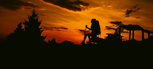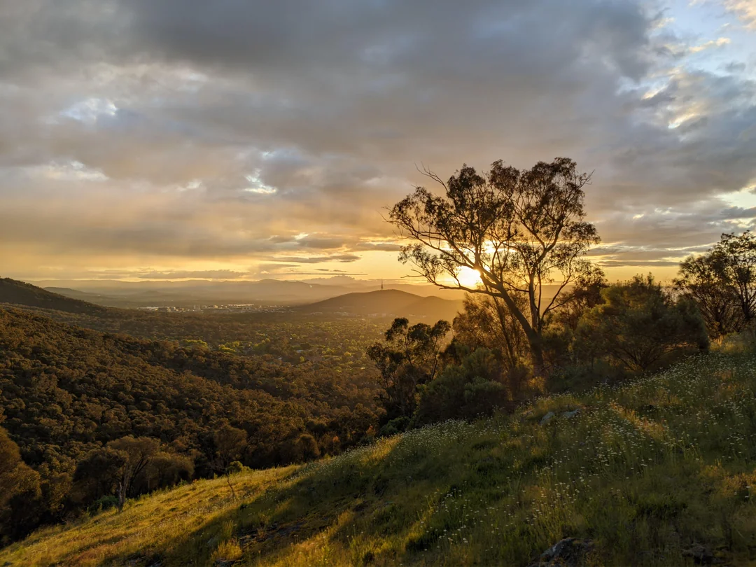
From Parliament House to the magnificent Murrumbidgee, Canberra is awash with incredible walks in nature. Start at the heart of the nation’s beautifully ordered capital, Lake Burley Griffin, then wend your way beyond the city limits to the eucalypt-lined hills, along the banks of the mighty river and into Namadgi National Park to explore all it has to offer.
1. Lake Burley Griffin
Following the path around the lake you’ll amble past well-known Canberra icons, including the Australian National War Memorial, Government House, Parliament House and the Carillon, through the beautifully manicured, English-style Lennox Gardens, and into the wildlife-profuse Jerrabomberra Wetlands. Located on the eastern shore of the lake, the wetlands is a 10-minute drive from where the politicians hang out. Linger awhile in one, or all, of the five timber bird hides around Kellys Swamp – there’s more than 200 bird species to spot, or meander along the boardwalk, listening to popping frogs and eye-spying eastern long-necked tortoises. Keep your eyes peeled for kangaroos grazing in grassland and don’t miss the WWI-era trenches that were used for training military personnel for the Western Front. Who even knew?!
Location: Central Canberra
Distance: 30km
Grade: Easy
Need to know: Dogs permitted, sealed track
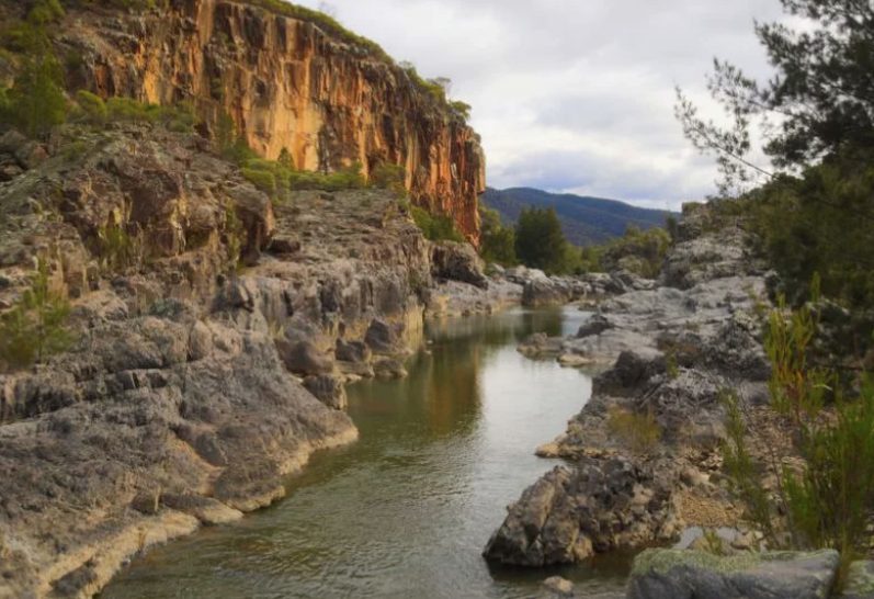
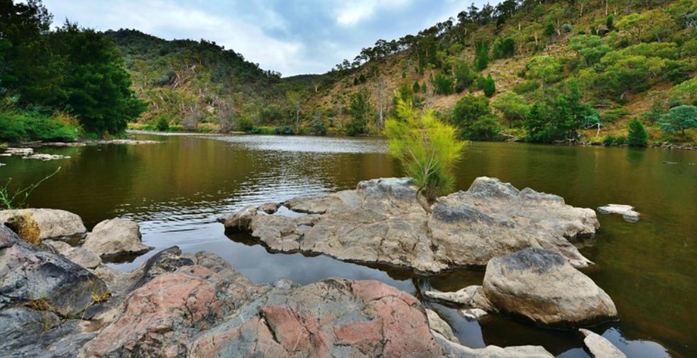
2. Kambah Pool to Casuarina Sands (Murrumbidgee River)
This 13.8km one way walk winds above the mighty Murrumbidgee and features stunning mountain views and wildflowers aplenty before changing tack and delivering you riverside. From golden wattle to creek crossings, bridges to a nudist beach, this walk has something for every nature lover!
Location: 20km south-west of Canberra
Distance: 13.8km
Grade: Medium-hard
Need to know: No dogs, unsealed track
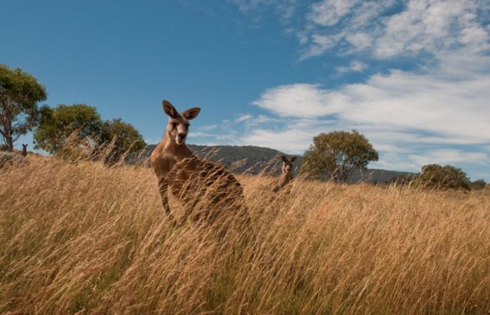
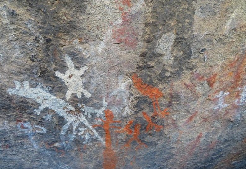
3. Yankee Hat (Namadgi National Park)
Named for its resemblance to the hats worn by American Pioneers, Yankee Hat Mountain is your destination on this 6km return walk that rolls through grassland to an Aboriginal rock-art site (don’t touch; oils in your skin can damage the ochre-and-clay paint) and includes panoramic mountain vistas, mobs of grazing kangaroos and soaring eagles. Early on in the walk you’ll encounter Bogong Creek and the adjoining Bogong Swamp – be sure to linger a while here to admire its array of delicate wildflowers.
Location: 63km west of Canberra
Distance: 6km return
Grade: Easy
Need to know: No dogs, unsealed track
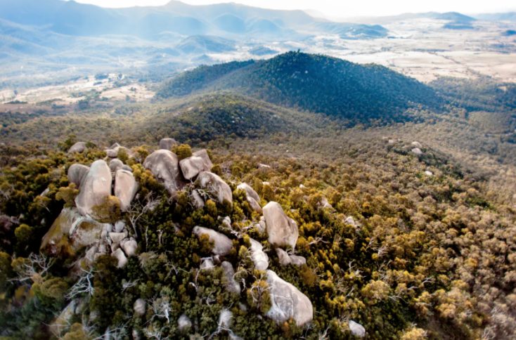
4. Cooleman Ridge (Cooleman Ridge Nature Reserve)
Brindabella vistas? Tick. Murrumbidgee views? Tick tick. Black Mountain? Tick tick tick. Yep, it’s all here on this scenic 8.5km circuit! Part of the Bicentennial National Trail, a 5333km track that runs from Queensland to Victoria, this track winds through open grassland, shady eucalypt stands and to the summit of Mt Arawang. Fear not, at 765m above sea level, it’s no Everest. As you climb you’ll have views into the suburbs of the Woden Valley and down into Tuggeranong Valley to the south, and on the other side of the ridge views into the nearby Brindabella Ranges and wilderness areas.
Location: 13km south-west of Canberra
Distance: 8.5km circuit
Grade: Medium
Need to know: Dogs permitted, unsealed track
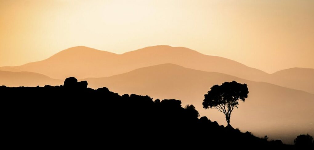
5. Gibraltar Rocks (Tidbinbilla Nature Reserve)
It’s a steep climb from the valley to reach the massive granite tors of Gibraltar Rocks but trust us, the effort is totally worth it! En route you’ll pass by stands of aged and impressive stands of Xanthorrhoea (grass trees), pass through a forest of banksia, wattle, apple box, grevillea and tea trees – singing with birdlife, and likely spot mobs of grazing ‘roos and curious emus. The final push winds around and between hulking boulders before you arrive at a rock platform that has sweeping views of the valley and, in the distance, Black Mountain.
Location: 45km south-west of Canberra
Distance: 6km return
Grade: hard
Need to know: No dogs, unsealed track, Steep uphill paths
6. Kambah Pool to Pine Island (Murrumbidgee River)
This walk is a delight in spring when the golden wattle and wombats abound. The elevated track traces the path of the Murrumbidgee and after good rain, you’ll often see whitewater enthusiasts shooting the rapids in Red Rock Gorge (there’s a great vantage point here). The track then drops down to Tuggeranong Creek, where there’s rock-hopping to be had and further along, a swim in the Murrumbidgee. With open grassland rich with ‘roos, a drystone wall built by convicts, and of course, the intrinsic beauty of the river, there’s much to recommend this 9.4km one-way wander.
Location: 20km south-west of Canberra
Distance: 9.4km one way
Grade: Medium
Need to know: No dogs, unsealed track, exposed